UPDATED FRIDAY, JUNE 1:
Due to poor weather forecast this weekend, the GSW Spring Field Trip to Catoctin Mountain has been POSTPONED until Saturday, June 9, 2018. Ann Wylie of the University of Maryland will lead the trip.
We will meet at 4810 Middlepoint Road, Myersville, MD at 10:00am. If there is no more parking space, please use the Sand Flats parking area, about 1 mile south off Gambrill Road, for overflow parking.
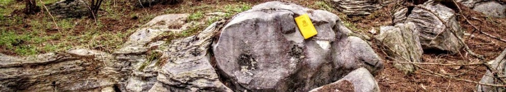
The field trip will extend from the Pre Cambrian Catoctin metabasalt, through the full section of the Loudon and Weverton Formations on Catoctin Mountain, MD. Here is a good overview of the rock units we’ll see on the trip.
The log house is located on the northwest corner of the intersection of Middlepoint and Tower Roads. (Some GPS devices place the house west of the intersection and on the wrong side of the street.) Here we will see the Loudon conglomerate, and the topographic expressions of the metabasalt-Loudon contact and the Loudon-Lower Weverton contact. The second stop is to a boulder field that marks the contact between the Lower and middle Weverton. At the third stop, we will park cars and walk about a mile along the crest of the easternmost ridge of Catoctin Mountain, where we will visit an old magnetite mine and observe an overturned fold revealing the synclinal structure of this ridge. Upper Weverton forms this ridge. We will return to the cars, and visit an overlook of the Frederick Valley close to the border fault. This is a great place to have a late lunch. A geologic map (draft) of the Catoctins which I have constructed will be provided for discussion. We expect the trip to conclude by early afternoon. There is a lot of walking, but the trail on the east ridge is fairly level after an initial gentle incline. The mine is only accessible by hiking. The boulder field is also a short walk along a trail.
Explore in advance using LiDAR and Google Earth (download the KMZ file from the link below, then just open it in Google Earth):
https://drive.google.com/file/d/1bjzbTbBrBFoFpvOjuxr32l5oZ1rg0BlZ/view?usp=sharing (98 MB)
A direct link to the PDF of the Catoctin Furnace geologic quad is here: http://www.mgs.md.gov/output/maps/quadgeo/CATOCGEO2004_1.pdf
Or, view a color version of the MD lidar in 3D just using a browser here (it’s the “MD elevations” layer near the bottom of the layer list), along with other layers, though the 1968 geologic map is not always geographically correct due to scale and other factors. (Thanks to Martin Schmidt for the link).